
Biliran, Leyte & Samar
Manila Zentral-Luzon 1 Zentral-Luzon 2 Nord-Luzon 1
Nord-Luzon 2 Nord-Luzon 3 Nord-Luzon 4 Süd-Luzon
Batanes Masbate & Catanduanes Marinduque & Romblon
Mindoro Boracay Biliran, Leyte & Samar Bohol & Siquijor
Cebu Negros Panay Palawan 1 Palawan 2
Mindanao & Camiguin Sulu Islands


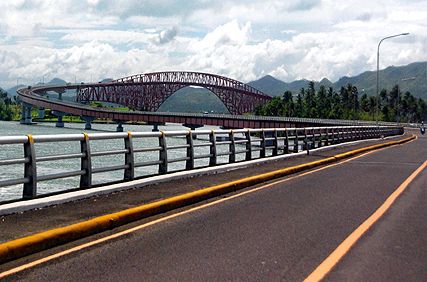
San Juanico Bridge
verbindet die Inseln
Leyte und Samar
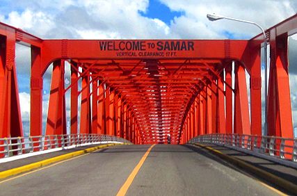
San Juanico Bridge
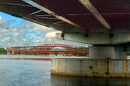
San Juanico Bridge
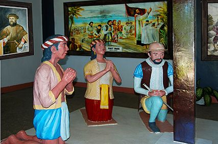
in Tacloban, Leyte:
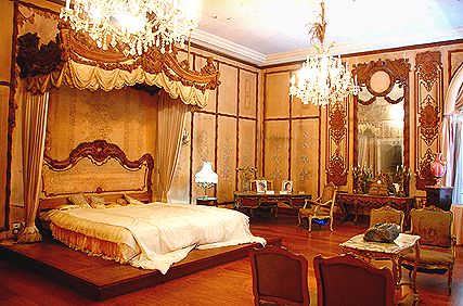
das Schlafgemach
von Imelda Marcos
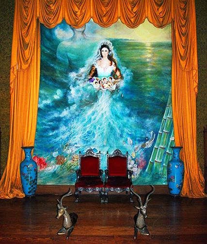
Gemälde: ein
zentral platzierter
Hingucker im
Romualdez Museum
in Tacloban, Leyte

Imelda Marcos ist
eine Attraktion im
Romualdez Museum
in Tacloban, Leyte
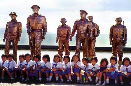
Memorial in Palo
auf Leyte

in Palo, Leyte

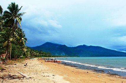
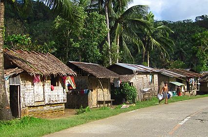
Baybay, Leyte

von Ubay/Bohol nach
Bato/Leyte
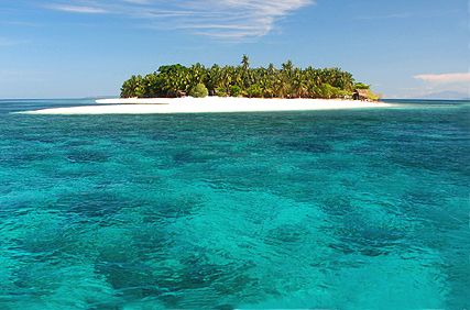
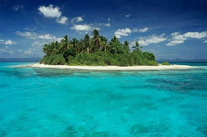
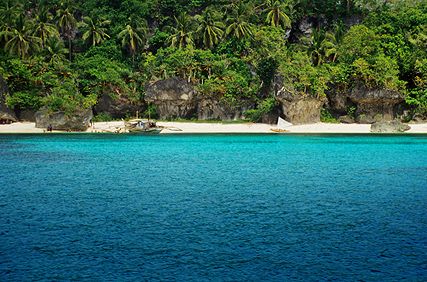
schönste der vier
Cuatro Islands,
Leyte
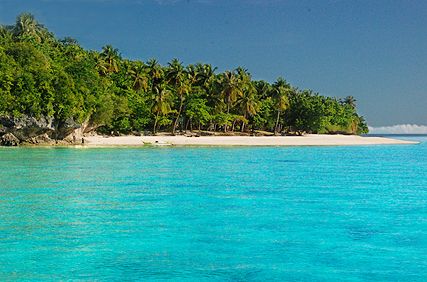
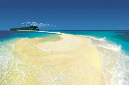
Mahaba Island, eine
der vier traumhaften
Cuatro Islands,
Leyte
gehört zur
Provinz Leyte
Sandbank ragt von
Kalanggaman Island
ins Meer
in Hinunangan,
Southern Leyte
eingestellt in
Seandy's Beach
Point, Hinunangan,
Southern Leyte
auf Limasawa Island,
Southern Leyte
Limasawa Island,
Southern Leyte
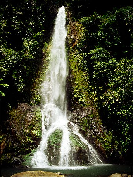
einer von Bilirans
über 30 Wasserfällen
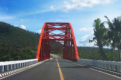
verbindet Biliran Island
mit der größeren
Nachbarinsel Leyte
Biliran Island
westlich von Maripipi
Island
Maripipi Island
Mabini auf
Higatangan Island
Higatangan Island
den ärmsten Inseln
der Philippinen
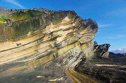
Rock Formations),
Nord-Samar
(Biri Island Rock
Formations),
Nord-Samar

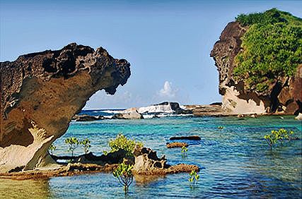
führt durch Mangroven
zu den Bel-At und
Caranas Rocks

auf Samar
Transport in
Nord-Samar
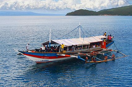
Auslegerbootes
von Capul Island in
Allen, Nord-Samar
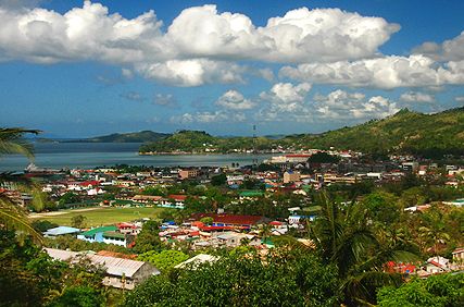
Catbalogan, Samar
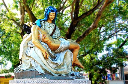
im Pietŕ Park in
Catbalogan, Samar
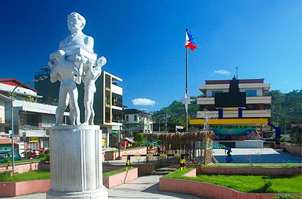
und City Hall in
Catbalogan, Samar
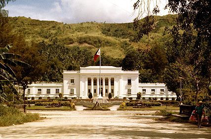
Provincial Capitol
Building in
Catbalogan, Western
Samar (1978)
